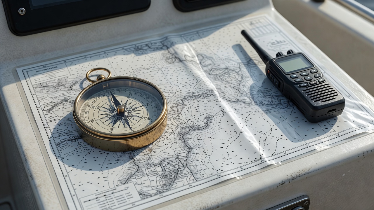
Navigating along a fjord or large lake seems straightforward when the shoreline sits in plain sight, yet visual estimation can be deceptive. Steep cliffs look much closer than they are, and glacial river mouths deposit shifting underwater gravel bars hundreds of metres offshore. Moreover, regulated inland lakes contain submerged stone walls, old timber cribs, and uncharted rock pinnacles near islands.
Never rely on a single smartphone for navigation and emergency calls. Cold gusts drain lithium batteries rapidly, and narrow valleys like Hjørundfjorden, Tafjorden, or inner Femundsmarka have stretches where high rock walls block cellular towers. Carry a waterproof handheld marine VHF radio on fjords (monitoring Channel 16), use the Norwegian Coastal Administration’s free BarentsWatch and Redningsselskapet SafeTrx apps where coverage exists, and download offline topographic and nautical maps from Kartverket (Norgeskart Friluftsliv) before leaving home.